The term “NAVEX” is something that most NSFs dread hearing. To those of you unfamiliar with this term, you might be wondering “What is a NAVEX?” and “Why do people dread it?”
As there is not much information online on this topic, let me share with you my experience from 2 years of National Service – as coming from Reconnaissance, I have done my fair bit (around 6) of NAVEX and other outfield exercises!
Contents
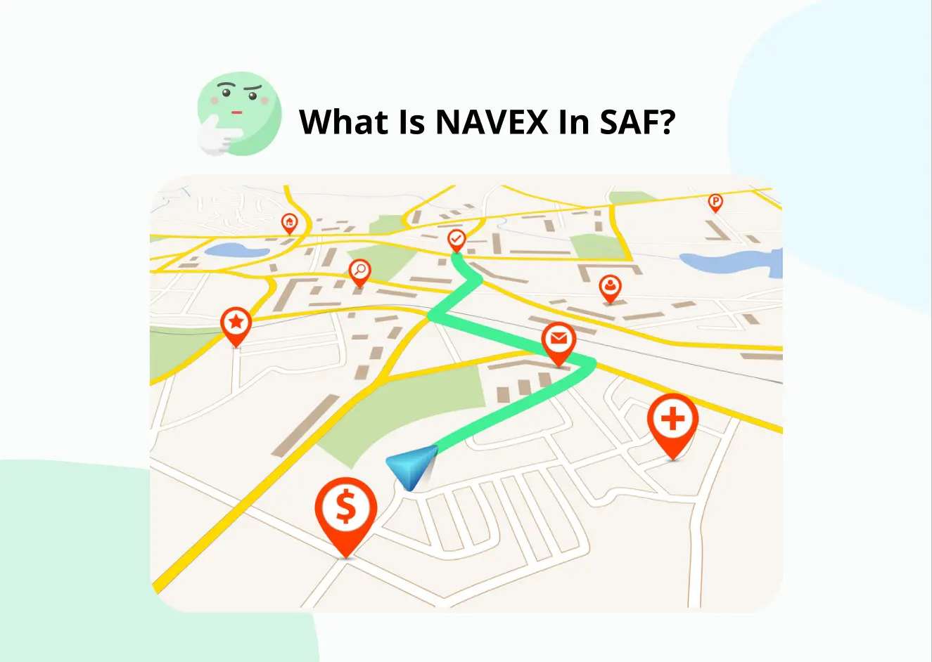
What does the term “NAVEX” mean in the SAF?
The term “NAVEX” stands for Navigation Exercise (NAVigation EXercise) and can be seen as a form of topography exercise.
As this is a navigation exercise, it is done outfield and is probably the reason why many NSF’s aren’t particularly fond of it!

What is the purpose of the NAVEX?
Through the NAVEX, you will be able to hone your skills in the usage of maps – from the plotting of maps to reading of maps – which are key skills to have depending on the unit you come from or the role that you might have.

For example, if you are going to be taking up the role of a commander – Sergeant, Officer, etc, – you will be expected to have basic NAVEX skills.
This is to ensure that during outfield exercises, you will be able to lead your men safely and fulfil the tasks assigned.
From my own experience, coming from a Reconnaissance unit – we were taught to navigate in the jungle without the use of electronics and just our maps. This skill is key to our role as Army Intelligence as we had to be able to collect information reliably in the field – whether we had electronics or not.

As such, you will also learn how to make use of the compass and its many “tools” – such as the degree markings that you may see (boxed in red).
“The NAVEX also serves as a form of practice in gauging the distance that you have travelled based on the number of steps taken.”
In a Reconnaissance unit, we would move out in tangos of 4 – the TC (team commander), DY (Deputy/2nd-in-charge), Signaller, Basher. The basher was the guy at the front and his job was to basically bash through the jungle and create a path for the rest of the tango to move through.
“Tango(s) refer to the different groups/teams that we are separated into”
For my tango, as the basher, I was tasked to count every step I took and had to give a heads up every time we had travelled 100m – a.k.a me taking around 68-70 steps.
“While this might seem like just a minuscule detail, it is actually extremely important as it gives you a rough idea of how much distance you have travelled.”
When referring back to the map, you can get a rough idea of your MGR (Map Grid Reference) – based on the distance travelled. This is very important in the event of an injury or if you get lost as having a rough idea of your MGR is essential in being able to call for aid.
Knowing the distance that you have travelled also ensures that you can stick to the path that you have plotted on your map.
For example, if my plotted path requires me to take a right turn after 200m of walking, I would turn right after around 140 steps.
What do you do during a NAVEX?
Note: This is based entirely on my experience and my unit. Your experience may differ depending on how your unit sees fit!
During your NAVEX, you will be tasked to locate specific checkpoints in the jungle, based on the MGR provided by your higher-ups. These checkpoints usually have codes on them that you will have to decipher.
After deciphering these codes, you will then be required to signal back to your HQ the deciphered codes. This is to “lock-in” that you have successfully found the checkpoints and deciphered your codes.
A NAVEX tends to last from day to night so you can get used to navigating in both scenarios. The tasks at night, however, are still the same, where you will be tasked to locate and decipher another set of checkpoints.
In the day, when you have sunlight – there is no need to use a torchlight as you can easily see your map under the sun.
As such, at night, where there is no sun – you will have to use your torchlight. The torchlight, however, must be used with a red filter on it.

The reason being told to me was that that red light was harder to see at night, as compared to the normal white light of the torchlight.
“As such in an actual combat scenario, using red light would give you the least chances of being spotted if you had to use a torchlight.”
Another practice that was also taught to us was to cover the head of the torchlight in black tape, and then make a few holes to allow light to shine through. This helps to limit the amount of light being emitted by the torchlight.
Overall, it is definitely harder to navigate in the night than in the day.
Furthermore, you can clearly see branches or trees in front of you during the day, so they pose little risk. However, at night, these become extremely dangerous as your visibility is greatly impaired. One missed branch can easily injure your eye if you are not careful!
It is also harder to gauge the distance that you have travelled at night based on your steps. This is due to the tendency of your strides becoming smaller at night, as compared to the day – being the result of the increased caution you may have as your visibility decreases.
“As such, there is a higher risk of getting lost at night as you may actually overestimate the distance you have travelled.”
For example, if I had to take a right turn after 200m – in the day, that would equate to about 140 steps. But at night, where my strides are smaller, 140 steps could only equate to about 150m, leading me to take an early right turn.
Having too many of such “early turns” will eventually throw you off your plotted path, causing you to get lost in the jungle.
This has happened to me during a NAVEX in Lower Mandai – where we got so lost that my TC had to whip out his phone’s GPS to get us out of the jungle.
It was an experience that I’ll never forget as the area we were lost in was the epitome of creepy with broken flower pots littered all over the place alongside destroyed infrastructure.
Where are NAVEXes held?
NAVEXes are held in the various training areas of mainland Singapore such as MacRitchie and Mandai. I have only done my NAVEXes in Lower & Upper Mandai and in the area behind Pasir Laba Camp in Joo Koon.
Depending on your unit, you may also have NAVEXes carried out in Tekong. My unit had a NAVEX exercise in Tekong during training prior to our rotational assessment.
If you are posted to SCS or OCS after BMT, you can also expect to have overseas NAVEX exercises. For example, the JCC course for OCS cadets which takes place in Brunei or Exercise Starlight for SCS cadets which takes place in Taiwan.
My service period was during the time when the world was on high alert for COVID. Thus, many overseas exercises such as Exercise Wallaby in Australia, were postponed or cancelled. As such, I wasn’t able to experience such exercises and won’t be able to go into detail on how they might be.
Tips for surviving a NAVEX
Here are some tips and tricks that may help you during your NAVEXes.
Essential items
There are some items that I definitely feel that you should bring along for your NAVEXes.
#1 Elbow and knee pads

While these pads may seem like a chore to bring around as they are pretty bulky, they will help keep you safe.
“Having your pads on ensures that even if you fall, your joints will be safe.”
Many of the training regions do become extremely slippery during or after rainfall and having these pads could mean the difference between injuring or not injuring yourself after a fall.
I regret being overly complacent in my ability to cushion myself after a fall, where I decided not to wear my pads during an exercise. And unfortunately for me, I had a nasty fall and injured my right knee.
So please don’t be like me and I hope you will learn from my mistakes!
#2 An extra pair of socks

Trust me when I say this, there is nothing worse than wearing a pair of socks soaked in rainwater from 8 am to 11 pm. I have had many NAVEXes where it rained as soon as we stepped foot into the jungle, and an extra pair of socks really is a lifesaver after the rain has stopped.
Just make sure to put your extra socks in an airtight ziplock bag, if not they’ll get wet too!
#3 Extra SAF candles and a lighter

Yes these ones, the ones that you were issued in BMT but probably never used. And No, you’re not going to use them to start a campfire.
What you’re using them for is to dry the insides of your boots if you do get to build a shelter to wait out a heavy rainfall.
To do this, all you need to do is to put the candle into your boots, and carefully light the candle and allow the heat to do its magic.
These drying candles together with the fresh pair of socks can help you stave off foot rot which is extremely unpleasant to have.
#4 Bungee cords

Bungee cords are single-handedly one of the best things that you can have outfield. Used together with your toggle rope, you can easily build a Basha tent in little time to help you keep dry from the rain.
To do this, you can tie 2 toggle ropes around 2 separate trees and then hook one end of the cord to one rope and the other end to the other. Drape your basha over the cord, secure the basha to the ground and your tent is done!
A bungee cord can also double as a clothesline to sun-dry sweaty clothes during other exercises that you may have. As such, the bungee cord is definitely an A+ investment in my books.
#5 Black tape and black string

These two go hand-in-hand and are extremely helpful in preventing equipment loss outfield. This is done by tying down your torchlight, SOG or compass using the rope to your ILBV then further securing the rope with tape.
This ensures that even if you fall, your items will always remain tied to you, preventing any possible equipment loss. Losing your torchlight during NAVEX at night is possibly one of the worst things that could happen so you should definitely do your best to avoid it!
#6 Gloves

Wearing gloves can protect your hands from thorny plants if you do accidentally grab onto them.
While you might think that it would be pretty easy to spot a plant with sharp surfaces, due to the sheer density of the jungle, many of these plants tend to hide in plain sight with plants that have smooth surfaces.
The fatigue from trekking under the hot sun may also slightly impair your ability to differentiate between the “safe” and “dangerous” plants.
“Many times, you don’t even know that the plants have thorns till you’ve actually grabbed them.”
This has happened to me and my tango mates multiple times, but as we were wearing gloves, the thorns did not manage to pierce into our flesh.
As such, gloves are definitely something that I would recommend.
Tips I have to approach NAVEX
While you may not want to use your admin time in bunk to touch up on your NAVEX skills, I would highly recommend it, even if it’s for just 30-minutes.
Just ensuring that you are able to do these things listed, will greatly help you in your NAVEX:
- Understanding how to use the compass properly – how to read the compass and identify true north, understanding how the degree markings can help you
- Basic understanding of the terrain based on your map – where are the key landmarks, how elevated is the terrain, where are the water bodies
But what are the significance of these points listed you might be wondering?
#1 Understanding how to use the compass properly
You will be surprised to know that many NSFs do not actually know how to read and use a compass!
“The compass is one of the most essential tools in navigation as it ensures that you travel in the direction that you want to be travelling in.”
Without the compass, it is extremely difficult for us, normal folks, to tell where North or South is based on the environment.
#2 Basic understanding of the terrain based on your map
Before my NAVEX exercises, my TC would usually sit down with the rest of my tango and discuss the terrain, to give us a mental picture of what it might be like.
For example, seeing if the NAVEX area has many slopes, or identifying which slope is the highest. Identifying landmarks such as water bodies or the tallest slope, allows you to reorient your position on the map if you do get lost so that you can continue with your exercise.
Understanding the terrain is also helpful when plotting your path to hit the different checkpoints. Ideally, you do want to avoid any high slopes as they will be extremely tedious to climb up when your bag is already over 15kg. Furthermore, this weight does not even include your rifle and ILBV!
Thus, having a basic understanding of the terrain also allows you to plot the best path to hit all the checkpoints, while also conserving as much energy as possible.
Conclusion
To end it off, while going outfield is definitely a chore and hassle I can’t deny, I would say that the experience of it is something that you will remember for life.
“Whether you remember it for being good or being bad, it is totally how you decide to approach it.”
I definitely had my fair share of bad moments, from wearing wet socks for the entire day to getting bitten by ants that crawled up my pants. However, the fun moments were plenty too, from the thrill of getting lost to making a campfire & roasting food over it.
Ultimately, NAVEX is something that will be part of many of our NS experiences whether we want it or not, so just try to learn something out of it!
Skills that you may learn such as map reading, can be applied in real life – such as if you’re trying to walk to a certain location.
Who knows, the NAVEX might actually awaken a secret love for trekking that you may not know you have!